Taylor Scott Solar Consulting home
Contact

Commercial rooftop solar survey details

What is collected, why it matters, and how it supports design.

The standard survey produces a coordinated S-100 survey drawing, electrical-area drawing, detailed photo log, and detailed field notes. This page explains what each output contains, how the fieldwork is completed, and the additional support available when a project needs more. The package is normally issued within three business days of the site visit; that is the standard turnaround, and the schedule for a specific project is confirmed in the quotation.

Deliverables

Four coordinated outputs, ready for the next design step.

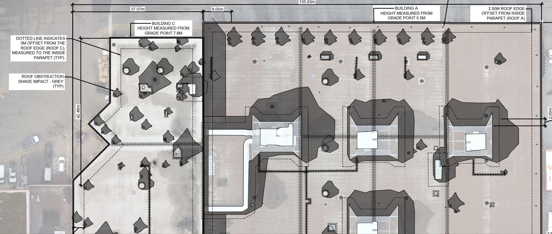
The survey drawing shown is an example from completed work with identifying information removed. Other images are clearly labelled field context and are not presented as completed deliverables. Actual formats, layers, coordinates, drawings, and report contents are defined by the agreed project scope.

De-identified completed rooftop survey drawing with measured geometry and calibrated shade profiles

S-100 · Standard deliverable

Complete survey drawing

  • Racking-layout-ready CAD and PDF
  • Custom site-specific object and roof-calibrated shade profiles
  • Object-offset linework
  • Fully labelled and annotated
  • Standing-seam and roof-profile measurements where applicable
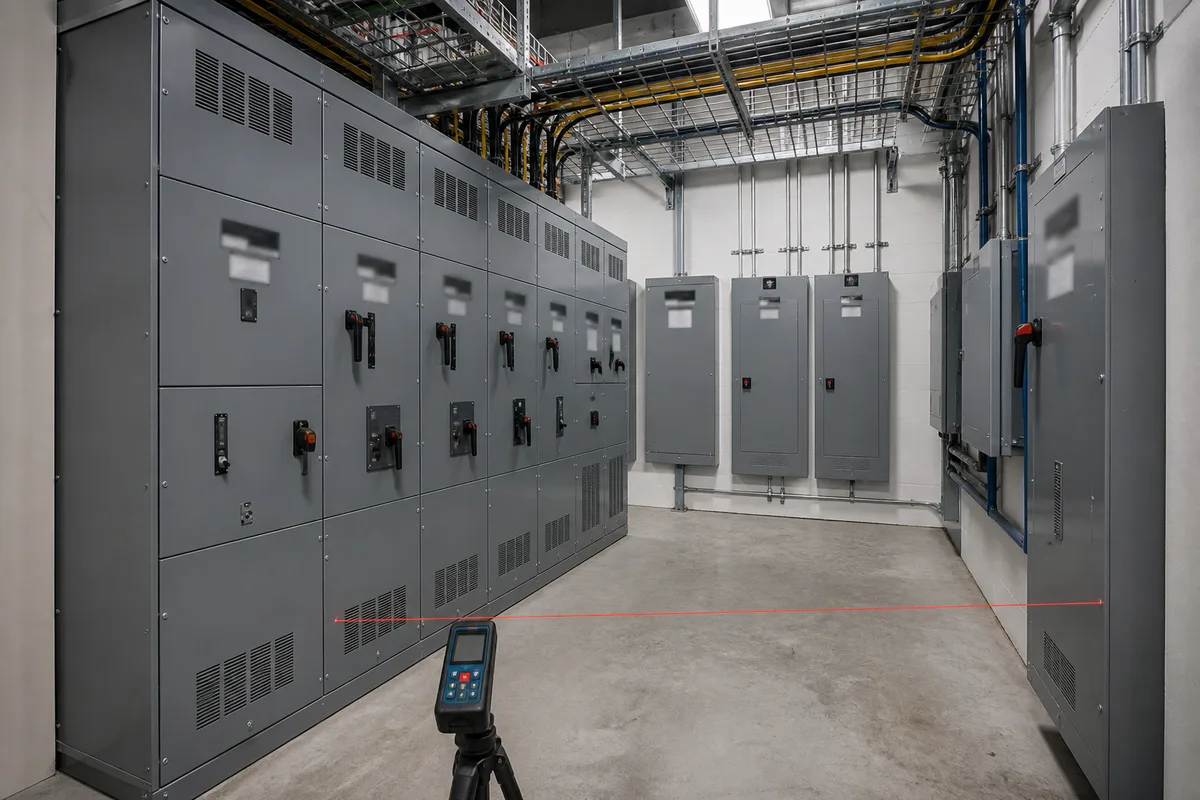
Fictional, non-identifying electrical-room field contextField context

02 · Standard deliverable

Electrical room / equipment-area drawing

  • Location referenced to the roof survey
  • Existing primary equipment, ratings, and observable clearances
  • Main electrical service and transformer documentation
  • Auxiliary equipment mounting locations where applicable
  • Unavailable, inaccessible, unsafe, or concealed conditions clearly identified
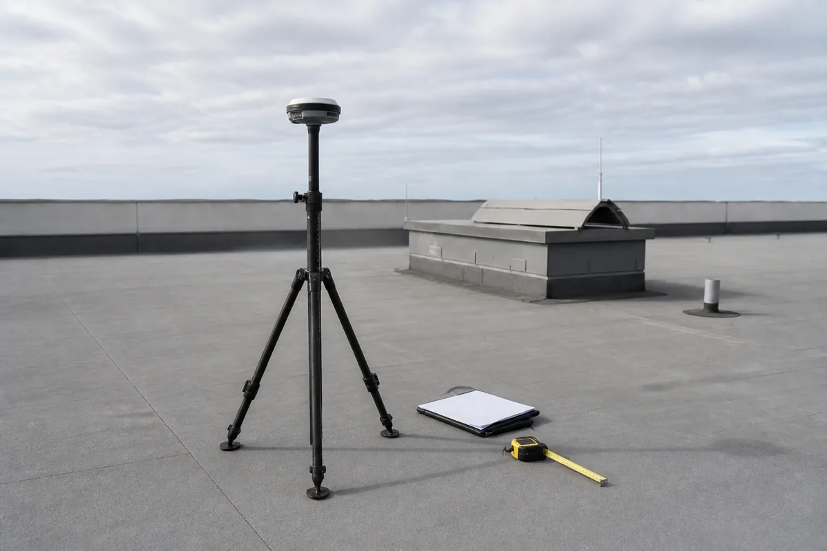
Fictional, non-identifying rooftop survey field contextField context

03 · Standard deliverable

Detailed photo log

  • Organized coverage of the entire surveyed area
  • Electrical-room and equipment-area photographs
  • Equipment ratings and nameplate details where safely observable
  • Photographs indexed so the design team can find field conditions quickly
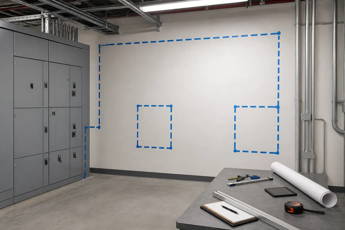
Fictional, non-identifying service-area field contextField context

04 · Standard deliverable

Detailed field notes

  • Equipment ratings
  • Observable roof conditions
  • Access notes
  • Conductor-routing observations
  • Staging and operational observations
  • Assumptions, limitations, unresolved items, and recommended follow-up

Why GPS/GNSS?

A common spatial reference for the design team.

Coordinate control

Roof edges, obstructions, equipment, and field points can be tied to a consistent coordinate system.

Repeatability

Survey points can be revisited, compared, and combined with CAD, GIS, aerial, and other spatial information.

Portfolio consistency

A repeatable data structure helps multiple buildings or sites move through a common design workflow.

Accuracy with stated limits

Centimetre-level results are available where equipment, correction service, satellite visibility, and site conditions support them. The method and limitations are documented.

Shade assessment

Use the shade method that matches the decision.

Roof objects are measured so project-specific, local shade geometry can be developed. The result may be a CAD shade block, production-model input, or both.

Method
Best for
Key limitation
CAD shade block
Module-placement decisions, defined shade windows, setbacks, and drawing coordination.
Represents selected geometric conditions; it is not by itself an annual energy-loss result.
Production / energy model
Monthly or annual production impact, diffuse irradiance, electrical effects, and economic trade-offs.
Depends on model inputs and assumptions; it may not provide the clearest drawing-level keep-out geometry.
Combined approach
Projects that need both defensible roof layout geometry and quantified production impact.
Requires a clearly defined modelling scope and coordinated inputs.

Safety + roof protection

Plan the access before arriving on site.

Pre-visit questionnaire

Confirms contacts, access, escorts, restricted areas, roof information, available drawings, shutdown requirements, and known hazards.

Site-specific controls

The visit proceeds within the client’s site rules and the access and safety controls agreed for the scope.

Roof protection

Approved access routes, sensitive areas, facility instructions, and observable roof concerns are considered when selecting field methods.

Recorded limitations

Unsafe, inaccessible, concealed, or unavailable conditions are identified in the report with the follow-up required.

Customization

Match the package to your drawing standards and project stage.

The standard survey is comprehensive, but the format can be adapted to the client's workflow. Options can include layer conventions, coordinate systems, point files, title-block-free CAD backgrounds, photo-log structure, portfolio templates, model inputs, specific equipment investigations, or downstream feasibility and design tasks.

Single site or multi-site portfolio
Full roof areas or client-identified roof zones
Client CAD standards and layer conventions
CAD, PDF, report, photo, point, and spatial-data outputs
Preliminary sizing, feasibility, and sales production model
DC system design and array-layout drafting
Electrical site plan for CIA/ESA
Construction stakeout services
Concept electrical design, draft SLD, and equipment sizing
Owner’s representative, value-engineering, and installation review

Common questions

Methods, limits, and follow-up.

Why use GPS/GNSS on a rooftop?

GPS/GNSS control can locate roof edges, obstructions, equipment, and reference points within a common coordinate system. It improves repeatability, supports CAD and spatial-data integration, and helps different disciplines work from the same geometry. Centimetre-level accuracy depends on equipment, satellite visibility, correction service, setup, and site conditions; the applicable method is confirmed in the scope.

What is a shade block?

A shade block is a geometric keep-out or review envelope derived from an object’s position, height, and selected solar positions. It helps a designer see where an obstruction can cast direct shade during defined dates and times. It is useful for layout and setback work but is not automatically the same as an annual energy-loss model.

When is a CAD shade block the better tool?

A CAD shade block is effective when the decision is spatial: where modules can be placed, what setback avoids a defined shading window, or how multiple objects affect usable roof area. It is direct, reviewable, and works in the drawing environment used for layout.

When is an energy model better?

An energy model is better when the decision depends on annual or monthly production impact, diffuse irradiance, electrical configuration, or economic trade-offs. Some projects benefit from both: CAD geometry for layout and a production model for energy impact.

How is roof protection addressed?

The pre-visit plan confirms approved access, facility requirements, roof restrictions, sensitive areas, and available roof information. Field methods are selected to avoid unnecessary disturbance. Observable concerns and access limitations are recorded in the report; roofing condition assessment or warranty decisions remain with the appropriate roofing professional.

What happens when something cannot be collected?

The work is limited to conditions that are safely accessible and observable within the agreed scope. Inaccessible rooms, missing labels, concealed conductors, unavailable shutdowns, unsafe areas, or information requiring destructive investigation are recorded as limitations with the electrician, utility, engineer, roofer, testing, or follow-up work needed.

Project-specific scope

Tell Taylor what the next project decision requires.

Request a quotation

Technical site surveys and preliminary assessments document accessible, safely observable conditions within the agreed scope. They do not constitute professional engineering, legal surveying, electrical contracting, or an authority inspection.